Total Distance: 5.31 Miles
Avg Speed: 1.47 MPH
Avg Moving Speed: 1.73 MPH
Moving Time:3:03:58
Total Time: 3:35:59
Conditions: Mostly Sunny, 87 degrees
Difficulty: Moderate
I usually try to find loop trails so that I'm not retracing my steps but in this case, I had intentions of going to a few different parks and turned around when I got to certain points. I also didn't find much as far as loop trails go but have read that there are some that aren't as well marked as others. This is definitely one of the places I intend to return to so I can continue my explorations, not to mention during the fall it's going to be beautiful. As usual, the weekends have been good with bright sunny weather. While my starting point was at Ralph Stover State Park, this is a combination of four parks all crammed into one area:
Ralph Stover State Park
High Rocks State Park
Tohickon Valley Park
Pleasant Valley Park - this park seems to be within Tohickon Valley Park and I can't find much information about it on the web but it is listed and can be found on Google Maps.
When I arrived at Ralph Stover State Park, I parked in the largest parking area as far to the west as I could. Approximate address is:
6011 State Park Rd
Pipersville, PA 18947
GPS: 40.434004, -75.098936

The first building you'll see is a small picnic pavilion at the beginning part of the Island Picnic Grove. I headed towards the Tohickon Creek and started my hike walking through the grove going downstream towards the bridge.

 |
| View of the Tohickon Creek looking upstream |
 |
| View of the Tohickon looking downstream |

 |
| Small bridge crossing over to another section of the Island Picnic Grove |
 |
| One of the areas inside the Island Picnic Grove |

I passed the bridge and stayed on the southeastern side of the Tohickon and continued downstream. There doesn't seem to be a trail in this area but it's easily passable for a good distance as long as you stay close to the creek. Watch out the for the rocks that are wet, they're as slippery as ice.


 |
| I have no idea what these little critters are... |
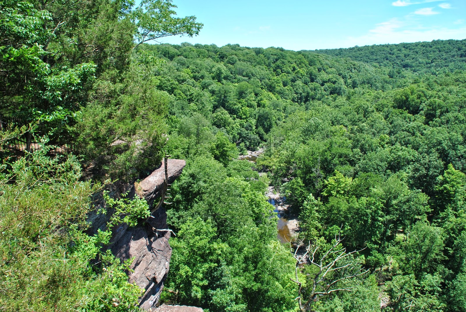
A few hundred yards downstream, you get to these cliffs.

Although I was unable to find it this time around, somewhere in this area is a place called Doan's Cave. Before I went, I found out about the cave though my friend over at Gone Hikin' and did some additional research. During the Revolutionary War, the Doan Gang was said to use this cave to hide from authorities due to their criminal activities and spying for the British. For more information on the history of the Doan's, click here.


I climbed up the bank to the top and found a dirt road leading down a hill on the opposite side of the cliffs. Be careful climbing up the bank from the water's edge, it's very steep with a lot of loose rocks. I didn't venture too far down the dirt road before I decided to turn back. Can you figure out why?

 |
| Dirt road leading downhill opposite the cliffs and the Tohickon Creek |
I headed back uphill on the dirt road to a gate and here's what I found. Whoops! I had climbed up the bank from the creek and didn't see these signs until I went to the gate. It was time to get out of there. I headed back down the bank towards the creek.

 |
| Trail off dirt road leading towards the bank and the Tohickon Creek |
Climbing back down the bank, I took some more shots of the cliffs in the area.


Once I ran into the "keep out" sign, I turned back and headed upstream towards the bridge. Unless you wade into the water, there's really nowhere else to go anyway.


Once I was on the other side of the bridge, I ran into this sign. I sure hope whoever lost their dog has found it by now.

After crossing over the bridge, I headed downstream on the opposite side of the Tohickon so I could get some more pictures of the cliffs I was just at.
 |
| Damselfly |
 |
| I thought these tree roots were pretty neat looking |
As I approached the cliffs from the opposite bank, here's the view.


I don't normally ignore these signs but to get a few of the above pictures, I did push a little further downstream from where they were posted. I made it quick and got out of there. There seems to be quite a few of these "no trespassing" or "keep out" signs at the park's edges.

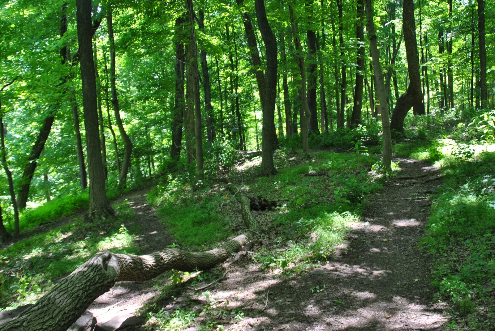
Once I was done taking pictures alongside the creek, I headed up a different trail to get back to the area where the bridge was, then headed up Stover Park Road to the trail head for the High Rocks State Park area. The trail I walked doesn't look to be used very often and was a bit overgrown. There are others that are more clear and close to this one.

As you head up the hill on Stover Park Road towards High Rocks, to your left, there's a very steep bank leading back down to the Tohickon, most of which is private property (you'll see plenty of signs telling you this) and you'll pass a few residences. Once you get to the below sign, you'll see the trail head leading you to High Rocks on the right. While named High Rocks State Park on Google Maps, a search for it returns results for Ralph Stover State Park and although I can't confirm, at one point High Rocks is said to have been called Boileaus Rocks.

The trail itself is in good shape but you'll have some trees that have fallen over it to duck under.


Like my trip to Haycock Mountain last week, this is one of those places where pictures won't do this area any justice. You have to see it for yourself to get a true idea of the magnitude of these rocks and cliffs.


There's a trail that leads below the cliffs and as you'll see from the number of climbing ropes, this is a common place for rock climbers. Personally, I prefer to stay on the ground!


 |
| View from just below the cliffs down to the Tohickon |
It's a bit difficult to see but in the next two pictures, I was able to catch a climber who was just about to the top which should give you an idea how tall these cliffs are. Follow the climbing rope up and you'll see the climber wearing a blue shirt.


Once I was done below the cliffs, I headed up to the top and to say the least, the view from here is breathtaking. The first thing I ran into however was this memorial. This isn't the same part of the park but a young climber by the name of Sullivan James "Sully" Burd passed away on September 9, 2010 at the age of 20, sadly due to an overdose of heroin (thanks again to my friend at Gone Hikin' for the information). There were no names on this memorial so I'm not sure who this is for. A quick internet search did not turn up any recent results.


After I was done at the cliffs, I headed northeast on the trail towards the Tohickon Valley Park for a distance and found a stream bed that had some nice rock formations.


After taking pictures of the stream bed, I doubled back toward the cliffs. The trail continues to the campgrounds at Tohickon Valley Park so eventually, I may camp there and hike back to Ralph Stover in the near future. If you decide you want to camp at Tohickon Valley Park, be sure to fill out a reservation form as there are limited campsites (22) and four cabins inside the park itself. There are also two group camping sites at the park. Don't mistake the campgrounds at the Tohickon Valley Park for the Tohickon Family Campground which is west of Nockamixon State Park. The campsites inside Tohickon Valley Park are called Doe Run (cabins) and Deer Wood (tent and trailer) Camp Grounds and are run by Bucks County, not privately owned.

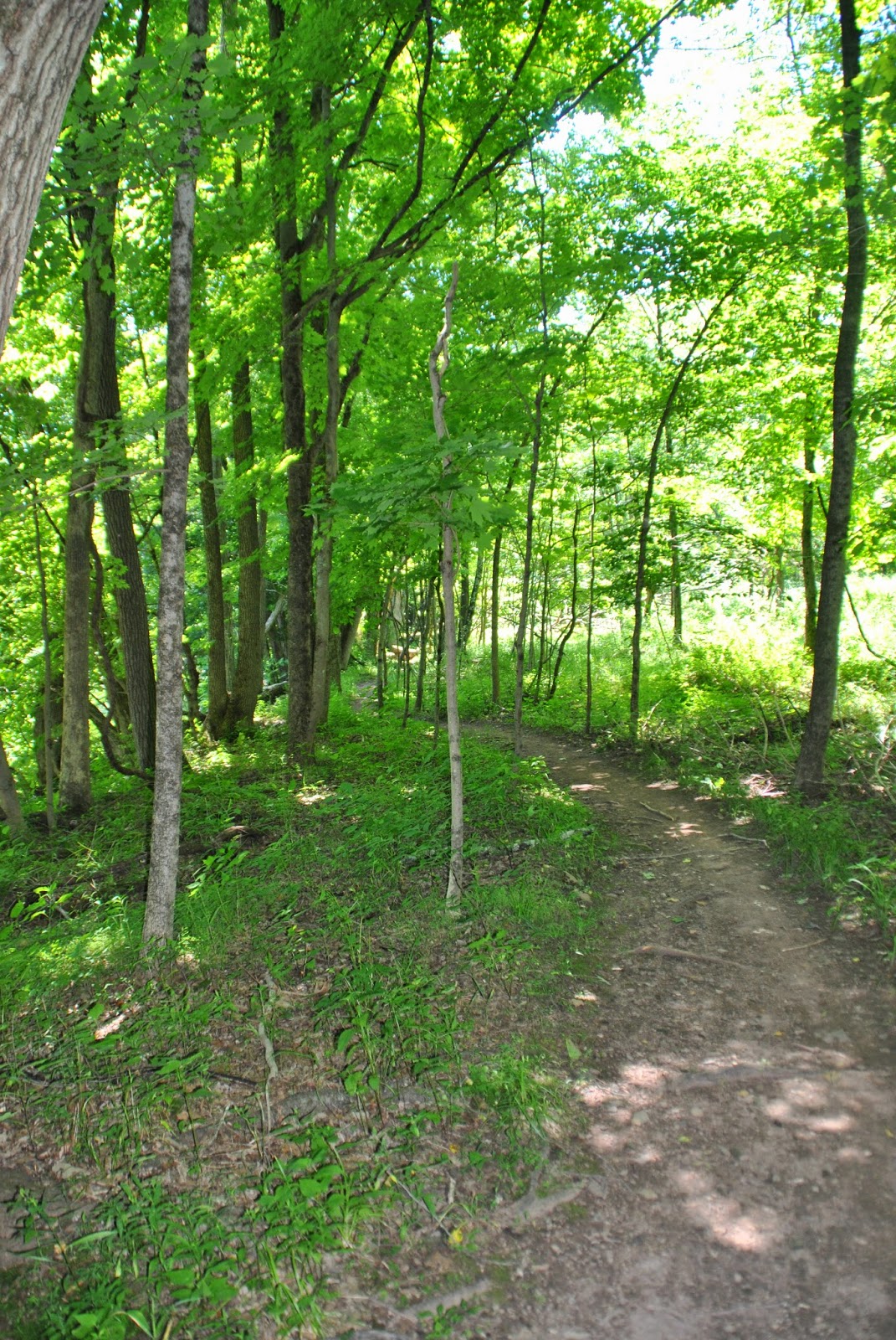
I took a different trail on the way back to Stover Park Road, here are some pictures of that trail.

 |
| There were a lot of fallen trees in the area, possibly from this past winter's ice storm |
Since I took a different trail to get back to Stover Park Road, I found another trail head directly across the street (it's a short distance up the road from the trail head that will lead you to High Rocks on the opposite side) and decided to check it out. This trail is not shown on the map of Ralph Stover State Park and it leads southwest towards Traugers Park, Stover Myers Mill County Park, and another section of Tohickon Valley Park. How far, I don't know but I intend to eventually find out.


Once I arrived at this small cliff, I decided to turn back. It was my intention to explore a few different parks but I hadn't realized there were so many trails in this area and spent more time here than I had anticipated. I had been to Ralph Stover once before a number of years ago but wasn't as avid of a hiker as I am now.


On the walk back down the hill on Stover Park Road, I took a few more shots.


This sign is heading down the hill leading back to the bridge at over the Tohickon at Ralph Stover State Park. I watched as a minivan drove past me and hadn't thought anything of it until I got to the bottom of the hill to see them trying to turn it around. I guess they missed the sign!

That was just about the end of my adventure at Ralph Stover State Park (and the others named at the beginning of my post). Once I was done here for the day, I decided to take a ride to Bowman's Hill Tower and Bowman's Hill Wildflower Preserve. In all, I took almost 200 pictures while I was there, too many to post here but it was an adventure well worthy of planning a return trip once the fall rolls around. I can't wait to see these cliffs and the Tohickon Creek once the leaves on the trees start to change colors.
Happy hiking!
Please give my Facebook page a like!
No comments:
Post a Comment